Lesson · Grade 3 · Science
Landforms: the shapes of the land
- Grade 3
- Science
- 56 s
- British Columbia
- BC3-SC-11
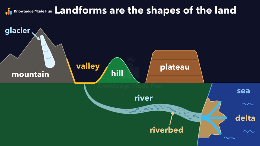
One landscape builds up step by step. A mountain with a glacier, a hill, a valley and a plateau stand on a plain, and each is named and labelled in turn. A river then flows out of the valley to the sea, clears to show its riverbed, and drops mud and sand that build a delta, ending on the recap that landforms are the shapes of the land.
Anyone can watch two lessons on the website without an account. Signing in is free, no payment and no card, and opens three a day; Plus has no limit.
Loading
In one sentence
The question this lesson answers
What shapes can the land around us have?
The shapes of the land are called landforms.
Transcript
What the lesson says
What shapes can the land around us have?
The shapes of the land are called landforms.
A mountain is very high land, often with steep sides.
A glacier is a huge mass of ice that moves very slowly.
A hill is lower than a mountain, often with a rounded top.
A valley is low land between hills or mountains.
A plateau is high land with a flat top.
This river flows out of the valley and down to the sea.
The ground at the bottom of a river is called the riverbed.
Where a river meets the sea, it can drop mud and sand.
Over many years, the mud and sand build flat land called a delta.
Landforms are the shapes of the land.
Curriculum
Where this fits
- British Columbia, Grade 3
Science, Earth science: major local landformsBC3-SC-11
Next: Erosion and Deposition: How Wind, Water and Ice Move Land
The outcomes and strands follow the British Columbia curriculum.
Keep going
 1 min 43 s
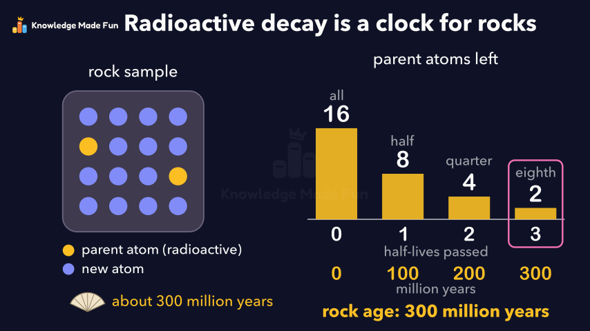
Absolute dating: radioactive decay is a clock for rocks
Grade 7 · 1 min 43 s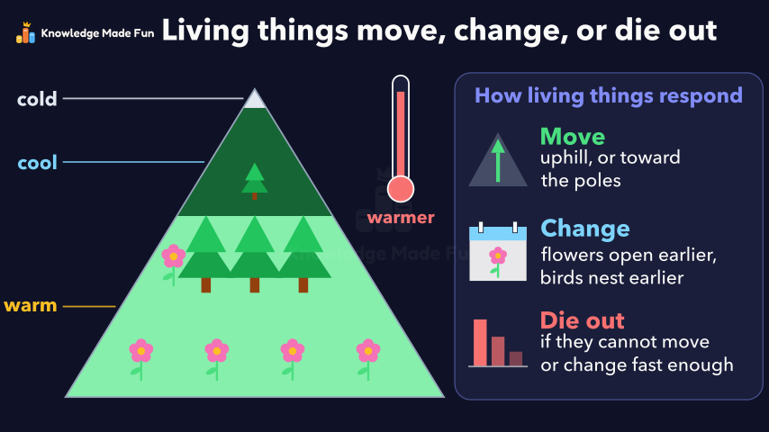 1 min 19 s
Climate Change and Living Things: Move, Change, or Die Out
Grade 7 · 1 min 19 s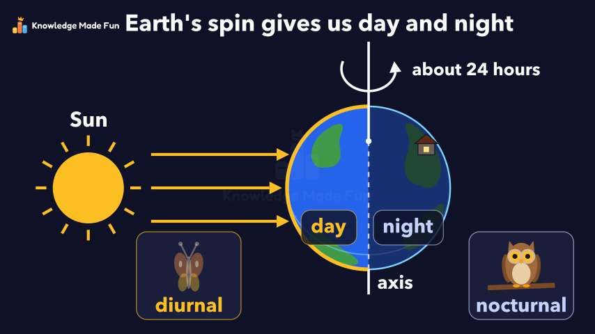 1 min 14 s
Day and Night: Earth Spins on Its Axis
Grade 4 · 1 min 14 s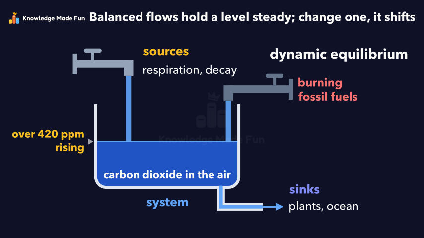 1 min 50 s
Dynamic equilibrium: balanced but always changing
Grade 9 · 1 min 50 s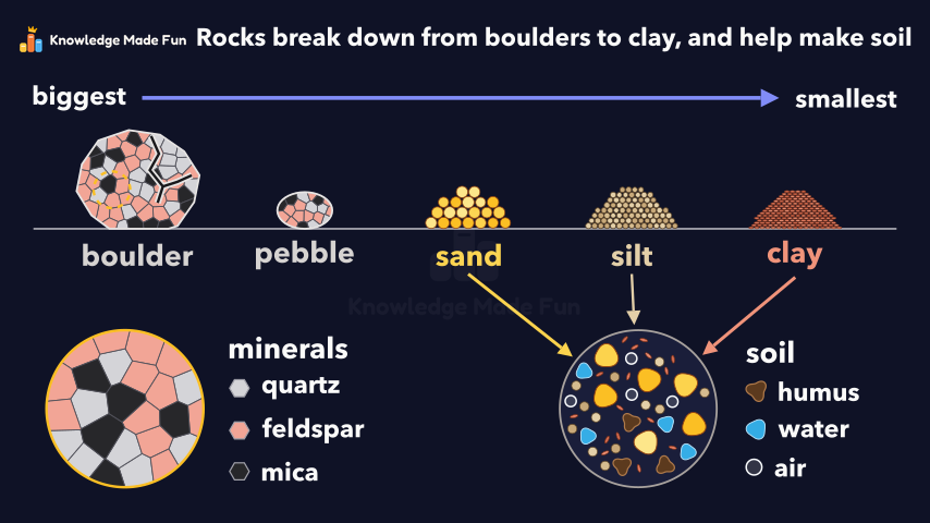 1 min 11 s
Earth Materials: From Boulders to Clay
Grade 5 · 1 min 11 s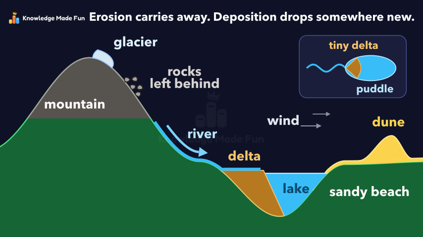 1 min 11 s
Erosion and Deposition: How Wind, Water and Ice Move Land
Grade 3 · 1 min 11 s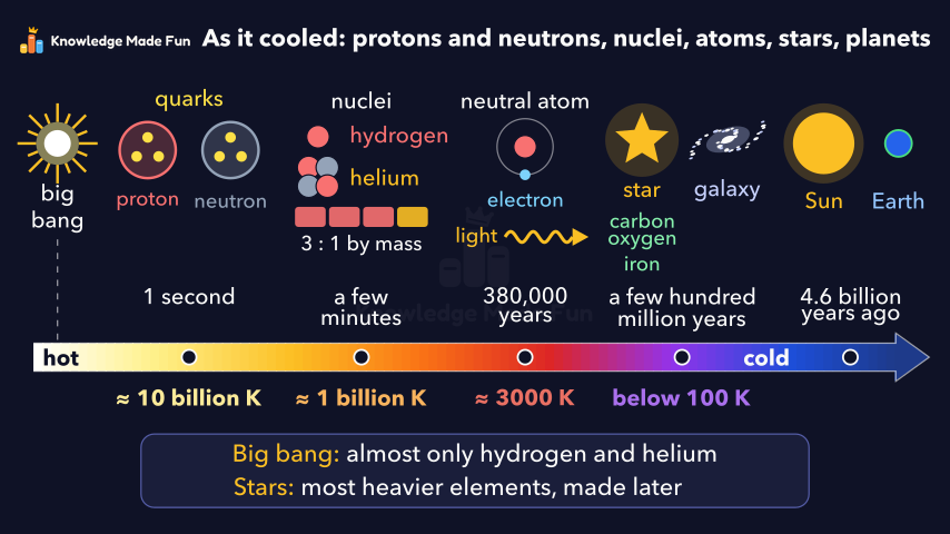 1 min 53 s
From quarks to galaxies: how the universe's matter formed
Grade 10 · 1 min 53 s 47 s
Hot, Warm, Cool and Cold: What Do We Wear?
Kindergarten · 47 s
- All Grade 3 Science lessons
- Create a free account to watch three lessons a day, no payment and no card.